History Biography Geography Science Games
Science >> Earth Science for KidsEarth Science for KidsTopography What is topography?
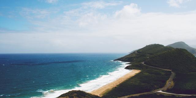
Topography describes the physical features of an area of land. These features typically include natural formations such as mountains, rivers, lakes, and valleys. Manmade features such as roads, dams, and cities may also be included. Topography often records the various elevations of an area using a topographical map.
Topographical Features
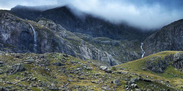
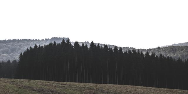
Topography studies the elevation and location of landforms.- Landforms - Landforms studied in topography can include anything that physically impacts the area. Examples include mountains, hills, valleys, lakes, oceans, rivers, cities, dams, and roads.
- Elevation - The elevation, or height, of mountains and other objects is recorded as part of topography. It is usually recorded in reference to sea level (the surface of the ocean).
- Latitude - Latitude gives the north/south position of a location in reference from the equator. The equator is a horizontal line drawn around the middle of the Earth that is the same distance from the North Pole and the South Pole. The equator has a latitude of 0 degrees.
- Longitude - Longitude gives the east/west position of a location. Longitude is generally measured in degrees from the Prime Meridian.
Topographical Map
A topographical map is one that shows the physical features of the land. Besides just showing landforms such as mountains and rivers, the map also shows the elevation changes of the land. Elevation is shown using contour lines.
When a contour line is drawn on a map it represents a given elevation. Every point on the map touching the line should be the same elevation. On some maps, numbers on the lines will let you know what the elevation is for that line.
Contour lines next to each other will represent different elevations. The closer the contour lines are to each other, the steeper the slope of the land.
The lower map shows the contour lines for the above hills
There are a number of ways that information is gathered to make topographical maps. They can be divided into two primary methods: direct survey and indirect survey.
Direct survey - A direct survey is when a person on the ground uses surveying equipment, such as levels and clinometers, to directly measure the location and elevation of the land. You have probably seen a surveyor along the road sometime making measurements by looking through a leveling instrument sitting on a tall tripod.
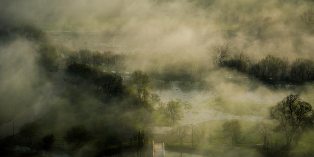
Indirect survey - Remote areas may be mapped using indirect methods. These methods include satellite pictures, images taken from planes, radar, and sonar (underwater).
Worker performing a survey
What is topography used for?
Topography has a number of uses including:- Agriculture - Topography is often used in agriculture to determine how soil can be conserved and how water will flow over the land.
- Environment - Data from topography can help to conserve the environment. By understanding the contour of the land, scientists can determine how water and wind may cause erosion. They can help to establish conservation areas such as watersheds and wind blocks.
- Weather - The topography of the land can have an impact on weather patterns. Meteorologists use information on mountains, valleys, oceans, and lakes to help predict the weather.
- Military - Topography is also important to the military. Armies throughout history have used information on elevation, hills, water, and other landforms when planning their military strategy.
Activities
Take a ten question quiz about this page.
Earth Science Subjects
Geology
Composition of the Earth
Rocks
Minerals
Plate Tectonics
Erosion
Fossils
Glaciers
Soil Science
Mountains
Topography
Volcanoes
Earthquakes
The Water Cycle
Geology Glossary and Terms
Nutrient Cycles
Food Chain and Web
Carbon Cycle
Oxygen Cycle
Water Cycle
Nitrogen Cycle
| Atmosphere and Weather
Atmosphere
Climate
Weather
Wind
Clouds
Dangerous Weather
Hurricanes
Tornadoes
Weather Forecasting
Seasons
Weather Glossary and Terms
World Biomes
Biomes and Ecosystems
Desert
Grasslands
Savanna
Tundra
Tropical Rainforest
Temperate Forest
Taiga Forest
Marine
Freshwater
Coral Reef
| Environmental Issues
Environment
Land Pollution
Air Pollution
Water Pollution
Ozone Layer
Recycling
Global Warming
Renewable Energy Sources
Renewable Energy
Biomass Energy
Geothermal Energy
Hydropower
Solar Power
Wave and Tidal Energy
Wind Power
Other
Ocean Waves and Currents
Ocean Tides
Tsunamis
Ice Age
Forest Fires
Phases of the Moon
|
Science >> Earth Science for KidsHomework
Animals
Math
History
Biography
Money and Finance
Biography
Artists
Civil Rights Leaders
Entrepreneurs
Explorers
Inventors and Scientists
Women Leaders
World Leaders
US Presidents
US History
Native Americans
Colonial America
American Revolution
Industrial Revolution
American Civil War
Westward Expansion
The Great Depression
Civil Rights Movement
Pre-1900s
1900 to Present
US Government
US State History
Science
Biology
Chemistry
Earth Science
Physics
World History
Ancient Africa
Ancient China
Ancient Egypt
Ancient Greece
Ancient Mesopotamia
Ancient Rome
Middle Ages
Islamic Empire
Renaissance
Aztec, Maya, Inca
French Revolution
World War 1
World War 2
Cold War
Art History
Geography
United States
Africa
Asia
Central America
Europe
Middle East
North America
Oceania
South America
Southeast Asia
Fun Stuff
Educational Games
Holidays
Jokes for Kids
Movies
Music
Sports
|
About Ducksters Privacy PolicyThis site is a product of TSI (Technological Solutions, Inc.), Copyright 2021, All Rights Reserved. By using this site you agree to the Terms of Use. |